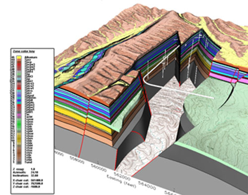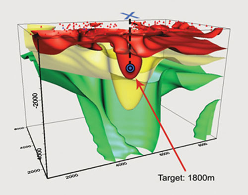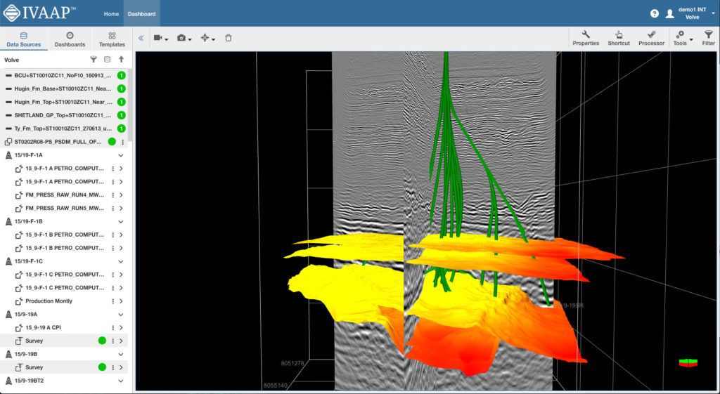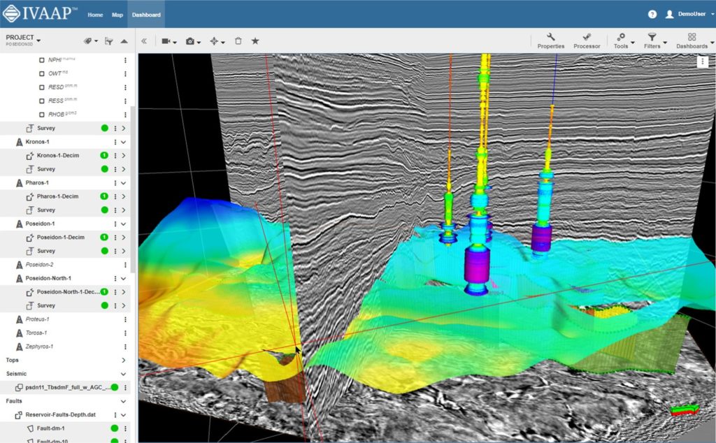
See Inside Your Reservoir
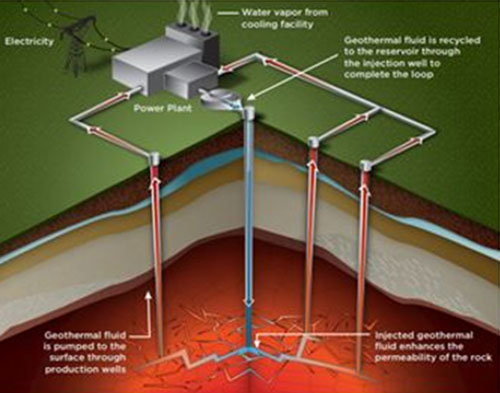
Whether you build a new geothermal plant from scratch or repurpose an existing well, each phase of the project requires gathering a large amount of data and analyzing it in context. From exploration to development, companies must be able to visualize their subsurface data at each stage in the lifecycle of a geothermal power plant to make smarter business decisions around feasibility, drilling, and operations.
For developers and product owners building software dedicated to geothermal energy, INT provides the visualization technology to empower geoscientists, drillers, and operators with the right visualizations to make key decisions, fast.