Diversified Modernizes Well Logging Software with INT’s Visualization Libraries
“From a small company’s point of view, INT has given us an incredible resource that can fast-track our development to keep pace with both the industry and our clients. We are able to go head to head with large, multi-billion dollar companies, and not just stand our ground, but actually compete with them.”
—Mark Pickell, New Technology Manager, Diversified
Business Need: Modernize Mud Logging SoftwareDiversified Well Logging has provided reliable and cost-efficient mud logging services to the oil industry for 72 years. To bring greater value to their customers, they wanted to evolve their classic mud logging and geosteering services into a more robust and modern solution that would combine quantitative elemental data and A.I.-based software to improve drilling and completion efficiency in real time.
At first, Diversified worked to build a complete solution in-house, but they soon realized that producing the platform itself, integrating with the right database, and creating domain visualization, all from scratch, was time-consuming and expensive. Diversified needed a software solution that would meet both their requirements and their budget — the right solution had to be able to display mudlogging data, integrate with WITSML, and visualize data and analysis for multiple users in different locations.
Solution: Extensible, Robust Domain Visualization
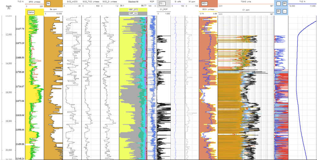
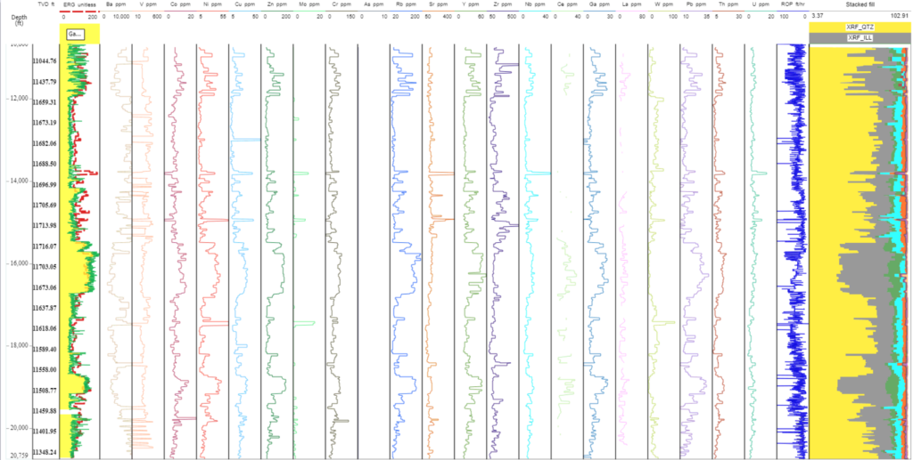
After evaluating more than a dozen software solutions, many of which were either too expensive, did not allow control of the code, or could not be extended with additional features, Diversified discovered INT’s GeoToolkit software. INT offered most of the required data visualization needed right out of the box — gauges, charts, mudlogging displays, and more — and could be expanded with additional functionality as needed to empower them to scale and adapt quickly. For example, printing a Well log with a header is a critical requirement for mud logging software.
While most solutions Diversified evaluated didn’t offer this functionality, INT had already started to develop a report builder, so it would be ready in time for deployment. Another feature — crossplot density — could be pulled in and implemented quickly. INT also supports WITSML, so a robust solution could be implemented rapidly without the burden of having to hire and support a full development team in-house.
INT offers one unique feature not found in most software companies — responsive, comprehensive customer support. Because Diversified works directly with the development and deployment teams at INT, making INT an extension of Diversified.
Benefits: Control Your Own Software — Cost-Effective, Fast, and Versatile
Partnering with INT liberated Diversified from other, more expensive software and platforms, and it allows them to take control over what and how they deliver their services. Instead of waiting for their priorities to align with the business needs of other software companies, INT offers the flexibility for Diversified to implement new functionality as they grow.
Deployed initially to 6 rigs on a cloud server, the platform Diversified built using INT’s software helps each team meet the business needs without deploying expensive equipment. Mud logger, company man, field engineer — all can be looking at the viewer, take the same data and sync it to the cloud, while colleagues in the office can log in and see the data themselves, all in one place. The teams are already looking ahead to adding wellbore functionality, and they know that when the time is right, they can just request it and it’s done, with little development or delay.
See how GeoToolkit can help you achieve your objectives with a free trial.